

Creach-Beinn [Creach Beinn]
Good walks are even better shared.
NM6427 : Creach Bheinn
Richard Webb Photo source
Overview
Creach-Beinn
Creach-Beinn, a prominent Marilyn in the Scottish Highlands, attracts hikers looking for a blend of natural beauty and cultural significance. Rising to 674 meters, its summit is crowned with a modest cairn that acts as a pathway signpost for tired feet and an ideal perch for a scenic snack.
Geology
The geology of Creach-Beinn showcases stunning schist formations. These metamorphic rocks tell tales of a long-past geological ballet—layers of sediment transformed under immense pressure and heat. It is a lasting reminder of the dynamic earth processes that shaped this rugged land.
Hiking Routes
One popular route is the Benmore Burn Route, a delightful 8.5 km journey that takes approximately 3.5 hours to complete. This moderate hike starts at the Benmore Burn parking area. You'll meander through tranquil woodlands before encountering grassy slopes that lead to the summit. Keen adventurers will find this hike a delightful mix of gentle inclines and breathtaking vistas.
Summit Features
A humble cairn marks the summit of Creach-Beinn, where intrepid explorers can rest and take in the grandeur of the surrounding landscape. It’s the perfect excuse to pull out that well-deserved sandwich and revel in views stretching over Loch Awe and beyond.
Terrain
The walk to the summit presents grassy patches with rocky outcrops closer to the peak. Bring sturdy boots to tackle the varied terrain. In wetter conditions, watch your step, as certain sections can turn quite boggy!
Views
From the summit, the vista is nothing short of spectacular. Hikers are treated to glimpses of Loch Awe and the neighboring peaks, coupled with the vivid hues of the Highlands. The best time to drink in these views is during spring and autumn, when nature dons her finest attire—vibrant flowers and autumn foliage.
Hazards
Hiking Creach-Beinn requires caution. Loose rocks during the ascent can test your balance, whilst the unpredictable weather of the Highlands reminds you that sheep aren’t the only ones who like to hide behind the clouds. Also, some boggy sections await to provide a surprise (or not-so-surprising) splash!
Nearby Summits
Nearby, you can summon your energy to tackle other peaks such as Beinn Tamhn na Sroine and the towering Ben Cruachan, where further adventure awaits.
Access
Access to Creach-Beinn is straightforward. The nearest parking lies at the Benmore Burn layby, just off the A85. Public transport is conveniently available from Oban to Dalmally, with local taxi drivers always eager to chat about the weather or the local football team!
Once you've conquered Creach-Beinn, pamper yourself in Dalmally, where cafes and shops offer all the post-hike comforts.
Facilities
Prepare for your hike! Dalmally boasts numerous facilities, including cafés for that all-important caffeine fix and shops to stock up on snacks. Public toilets are also a blessing after a long trek.
History
The name 'Creach-Beinn' translates to 'Hill of the Capture', hinting at its storied past involving clan rivalries and historical events. This area is steeped in cultural significance, with ancient remnants and stories that evoke a sense of connection to the land.
So grab your hiking boots, pack your best snacks, and prepare for a journey that your legs (and taste buds) will thank you for! Happy Hiking!
Explore routes near Creach-Beinn [Creach Beinn]
Walks starting near this hill. Open a route to check its map, distance and full itinerary.
Crinan Canal: Bellanoch and Dunardry towpath return
View route
Ben Nevis via Mountain Path
View route
Glen Kin group walk
View route
Banavie to Glen Loy Aqueduct: Neptune’s Staircase Canal Towpath
View route
Route planning notes
These notes describe possible approaches. Check a route's map and access information when planning your walk.
Benmore Burn Route
Starting at the Benmore Burn parking area, this route leads you through scenic woodland before ascending grassy slopes to the summit.
Make a day of it, together
Find someone to share the walk with, or organise a day out along a route you like.
Photo Gallery
View all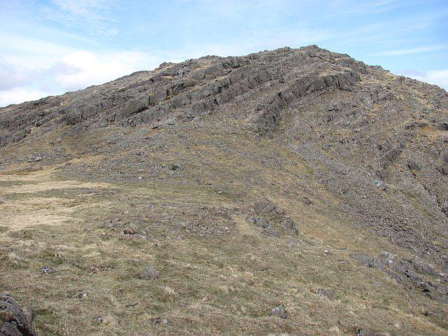 Photo could not load
NM6427 : Creach Bheinn
Richard Webb
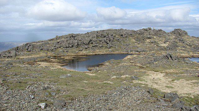 Photo could not load
NM6427 : Summit, Creach Bheinn
Richard Webb
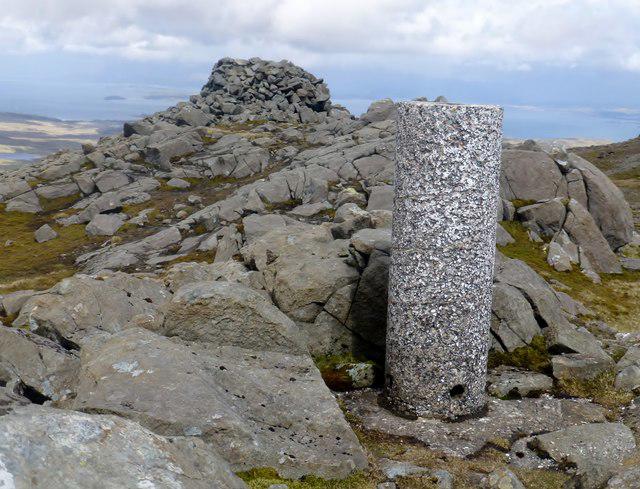 Photo could not load
NM6427 : Creach Beinn
Rude Health
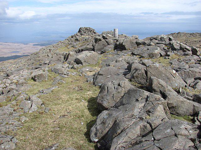 Photo could not load
NM6427 : Summit, Creach Bheinn
Richard Webb
 Photo could not load
NM6427 : Creach Beinn from Lochbuie
Robert Struthers
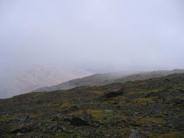 Photo could not load
NM6427 : Summit of Creach Beinn
Andrew Spenceley
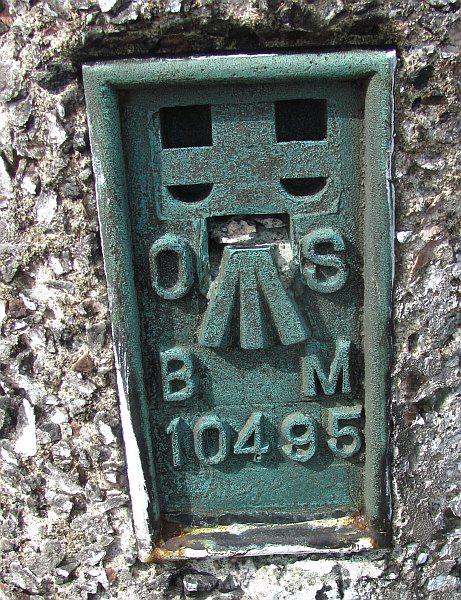 Photo could not load
NM6427 : Flush bracket, Creach Bheinn
Richard Webb
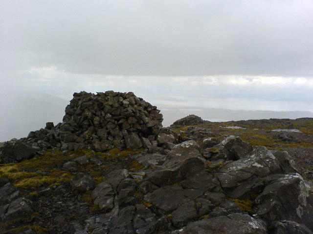 Photo could not load
NM6427 : Summit of Creach Beinn
David Bloomfield
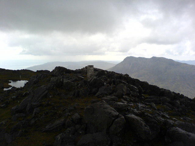 Photo could not load
NM6427 : Summit of Creach Beinn
David Bloomfield
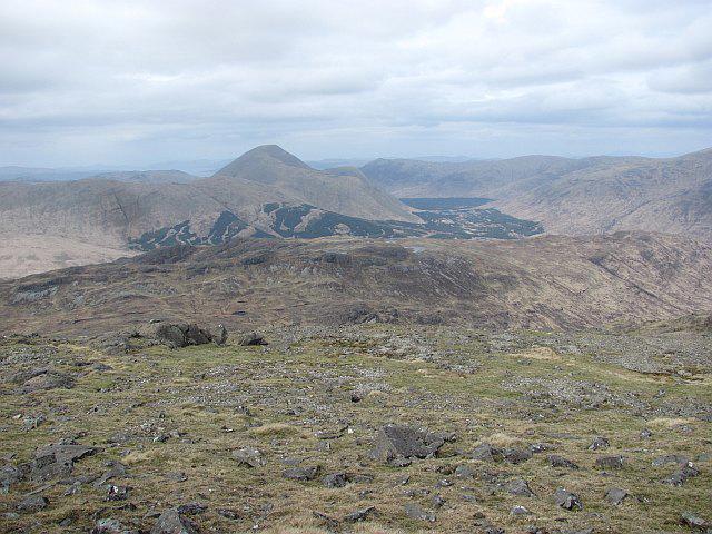 Photo could not load
NM6427 : Summit plateau, Creach Bheinn
Richard Webb
Hill facts and local notes
Classifications
Elevation
699m
2,292 ft
Prominence
552m
Coordinates
56.3819, -5.8201
NM642276
OS Map
49
Explorer: 375E
At the Summit
The summit features a modest cairn, which provides a perfect spot for a well-deserved snack and a panoramic view of the surrounding highlands.
Terrain & Geology
Creach-Beinn is primarily composed of schist, which formed through the metamorphosis of sedimentary rocks. This ancient geology offers a glimpse into the complex tectonic processes that shaped the Highlands.
Views & Scenery
From the summit, one can enjoy views of Loch Awe, the peaks of the Southern Highlands, and on a clear day, the distant summits of the Grampians.
History & Heritage
Name Origin
The name 'Creach-Beinn' translates to 'Hill of the Capture,' possibly referring to the historical significance of the area during clan conflicts.
Historical Significance
The area has a rich history of human settlement, with traces of ancient cultures and clan conflicts. It has been a landscape of resilience and survival.
Getting There & Facilities
Parking
Parking is available at the Benmore Burn layby, easily accessible from the A85 road.
Public Transport
Regular bus services run from Oban to Dalmally, with options for connecting transport. A good excuse to practice your haggling skills for that taxi ride!
Nearby Facilities
A few miles away in Dalmally, you'll find essential facilities including cafes, a small shop, and public toilets. Perfect for a pre-hike coffee boost!
Safety Information
Known Hazards
- Loose rocks on the ascent, potential for sudden weather changes, and boggy patches, particularly in wetter months.
General Safety Tips
- Check weather conditions before setting out
- Carry appropriate clothing and equipment
- Let someone know your planned route
- Take a map, compass, and GPS device
- Carry emergency supplies: food, water, first aid kit, torch
Hills
Some common questions about the hills answered
Are there group walks up Creach-Beinn [Creach Beinn]?
Many walkers use Walkmates to join or organise walks with others. You can check for group walks around Creach-Beinn [Creach Beinn] through the maps
Are there other walkers around Creach-Beinn [Creach Beinn]?
Activity varies by location and time, but Walkmates lets you see whether others have shared walks or shown interest in this area. Find other people through the walking friends search walking friends for Creach-Beinn [Creach Beinn] search or of course create your own walk for Creach-Beinn [Creach Beinn]
Can I organise a walk to Creach-Beinn [Creach Beinn]?
Yes. If there aren’t any walks listed already, you can create a walk and make it available for others to join.
If you're signed up to Walkmates, you can create a walk to Creach-Beinn [Creach Beinn].
How do I find a walk up this hill?
There are often multiple ways to walk this hill, depending on experience and route preference. Walkmates helps you explore walks and routes that others have shared.
Can I suggest a new route up Creach-Beinn [Creach Beinn]?
Yes. You can suggest or create routes to share with others. Walkmates focuses on the social side of walking, so routes are used to help people organise walks and explore areas together, rather than as detailed navigation tools or route libraries.
Other uses really appreciate knowledgeable walkers sharing their routes. Share your favourite route to Creach-Beinn [Creach Beinn] here
The is an error or something incorrect about this hill. How do I let you know?
We always strive to keep the information on Walkmates as accurate as possible. If you find an error, please let us know through the contact form and we'll aim to correct it as quickly as possible
Community Discussion
Comments
Location
View the hill's mapped position and surrounding paths.
Grid reference: NM642276
View on OpenStreetMapOpens a map in a new tab, centred on the hill.
No comments yet. Be the first.